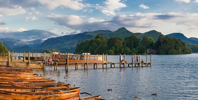

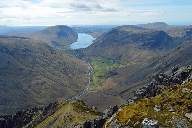
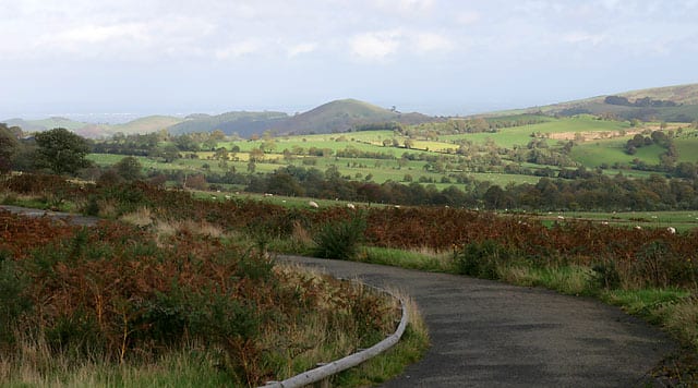
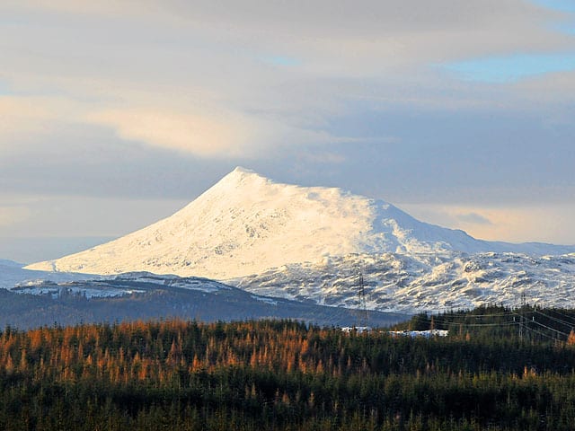
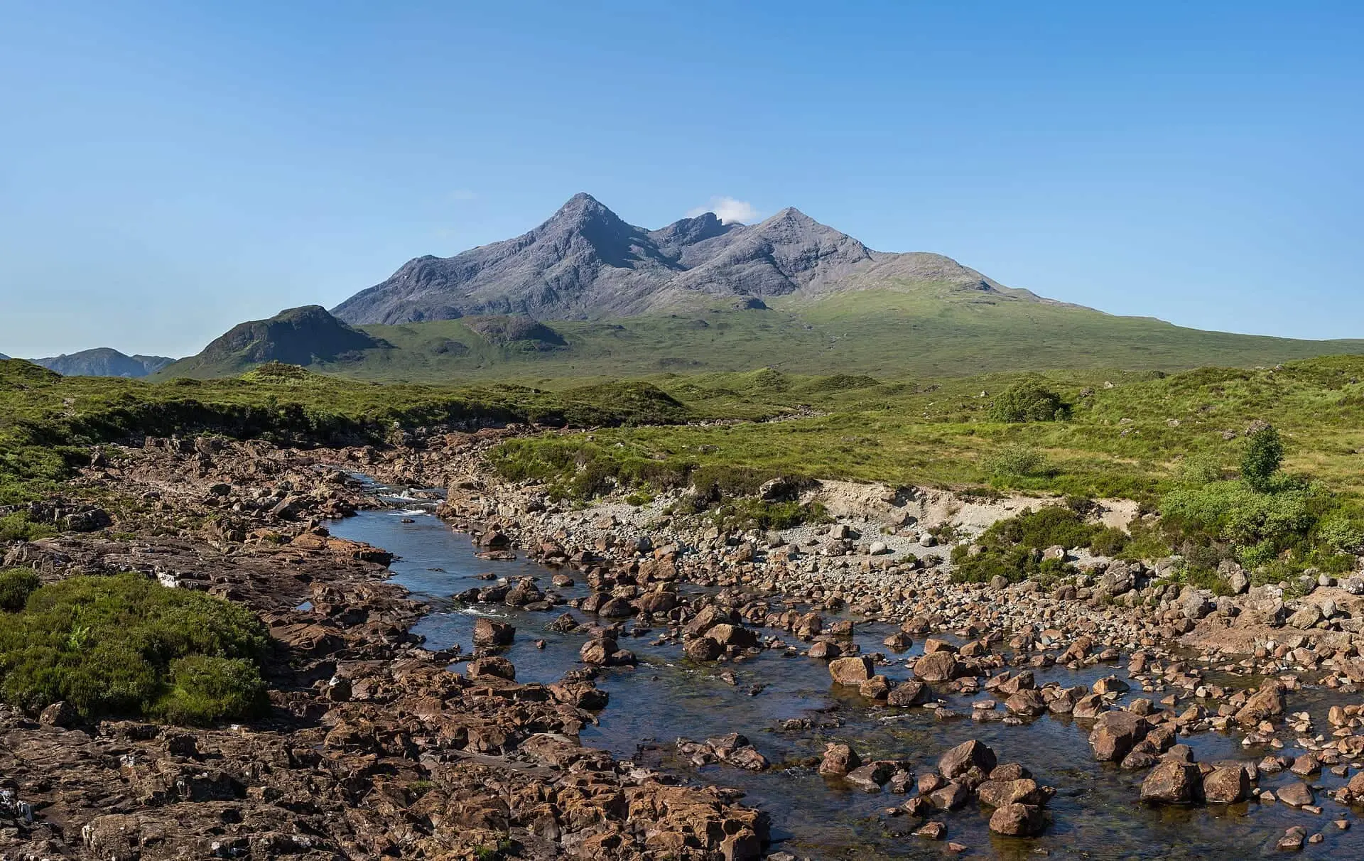
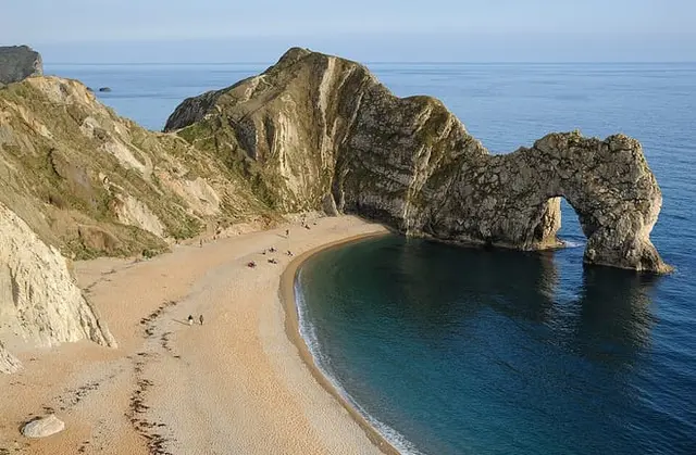
Photo: Diliff, CC BY-SA 3.0, via Wikimedia Commons
Find your next hike. Get there by train.
Tell us where you're starting from and how long you'd like on the train. We'll show you every National Park, trail, coast and hill you can reach, and the stations that put you right on the path.
Where will the train take you?
RailTrails maps every station within reach of Britain's National Parks, National Trails, protected coastline and named hills. Start from a country or a type of landscape, pick a destination, and see which stations put you on the path.
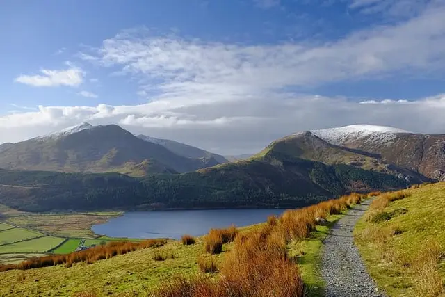
Best hikes from your nearest city
Britain's best stations for hiking
We scored 1,088 stations on the hills, landscape and trails around them and how easily you can reach them from the cities.
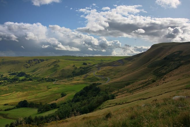
 No. 1Gold walking ratingEdale36 listed hills within 8 miles, Peak District
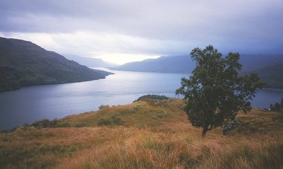
 No. 2Gold walking ratingArrochar & Tarbet27 listed hills within 8 miles, Loch Lomond and The Trossachs National Park
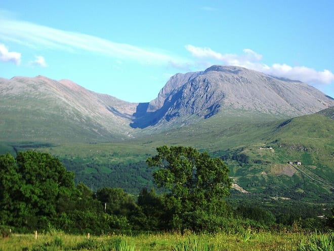
 No. 3Gold walking ratingCrianlarich30 listed hills within 8 miles, Loch Lomond and The Trossachs National Park
 No. 4Gold walking ratingWindermere42 listed hills within 8 miles, Lake District
 No. 5Gold walking ratingHadfield22 listed hills within 8 miles, Peak District
Parks, trails, coast and wild land, every one reachable by rail

Why the train is the best way into hiking
You don't need a car, kit or experience to start. Pick somewhere close, go on a dry day, and walk as far as feels good.
No car, no problem
Every destination here starts at a station. No parking to find, no drive home at the end of a long day.
Walks that go somewhere
Start at one station and finish at the next. Trains make point-to-point walks easy, with no doubling back to a car park.
Lighter on the planet
Each station page shows roughly how much CO₂ your return trip saves compared with driving the same distance.